
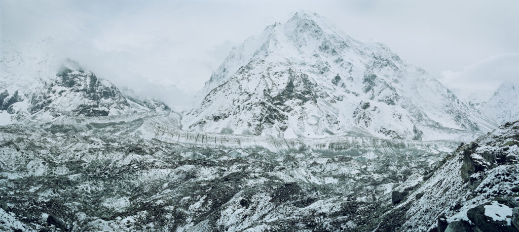
Pic 1. View of Langhisa Ri glacier with dusting of snow
The recent tragedy in the Himalayas brings back vivid memories of a Project Pressure expedition to that exact area in 2012. We were there to bring attention to the quiet plight of the world’s glaciers.
On 26 August 2026, a vast section of rock and glacier ice broke away high on Langtang Lirung. It fell more than a kilometre down the mountain, striking the valley below with such force that it generated a seismic signal equivalent to a magnitude 5.2 earthquake. What followed was an extraordinary cascade debris and water that tore downstream, devastating communities and infrastructure along the border of Nepal and the Tibet region of China.
What happened is becoming relatively clear. Why exactly it happened is not.
What we knew in 2012, and what this disaster reminds us of today, is how much we still do not know about the Himalayas. The Himalayas is sometimes referred to as the Third Pole because it holds the greatest concentration of ice outside the Arctic and Antarctic. Yet only a tiny fraction of those glaciers is systematically studied. The Hindu Kush Himalaya contains an estimated 54,000 glaciers, spread across roughly 60,000 square kilometres so monitoring it is a daunting task. That lack of information was one of the reasons for our expedition in 2012.
For days we trekked up the Langtang Valley, travelling beyond the settlements and high into the mountains to photograph glaciers, meet the scientists working there and understand both what was being studied and what still needed to be studied. We sought out, and eventually reached, a glacier that did not even have a name.
We tend to imagine that the terrestrial Earth has been catalogued. Humans name, measure, photograph and classify almost everything. And yet here was an enormous glacier, directly in front of us, without a name. There is something profoundly humbling about that. It is a reminder that there are still holes in our maps. They’re called the “white spots on the map” because, historically, unexplored or poorly documented areas were literally left blank on maps, only the paper was there. But today it is not necessarily because nobody knows they exist, but because our detailed knowledge of them remains remarkably thin, and thus unnamed glaciers. Who knew.
Glaciers themselves are far less uniform than the word glacier suggests.
There are tidewater glaciers which terminate in the sea and often present the great blue-white ice fronts familiar from photographs. There are valley glaciers, flowing for kilometres through mountain landscapes. In the Himalayas, these can be heavily covered by rocks and sediment which insulates the ice underneath. What appears to be a rocky landscape may contain a huge body of glacier ice below. Other mountain glaciers terminate with exposed ice fronts. Thy include hanging glaciers: bodies of ice perched high on mountainsides overhanging a steep drop where the glacier abruptly stops. The glacier involved in the Langtang disaster was a hanging glacier.
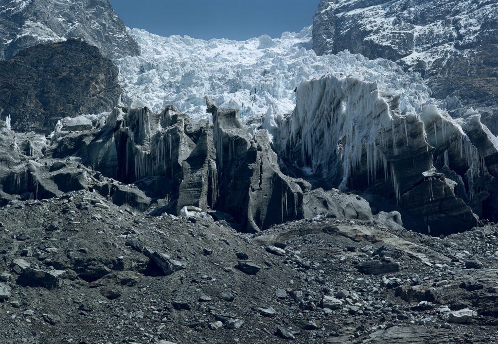
Pic 2. Glacier front of Lirung Glacier
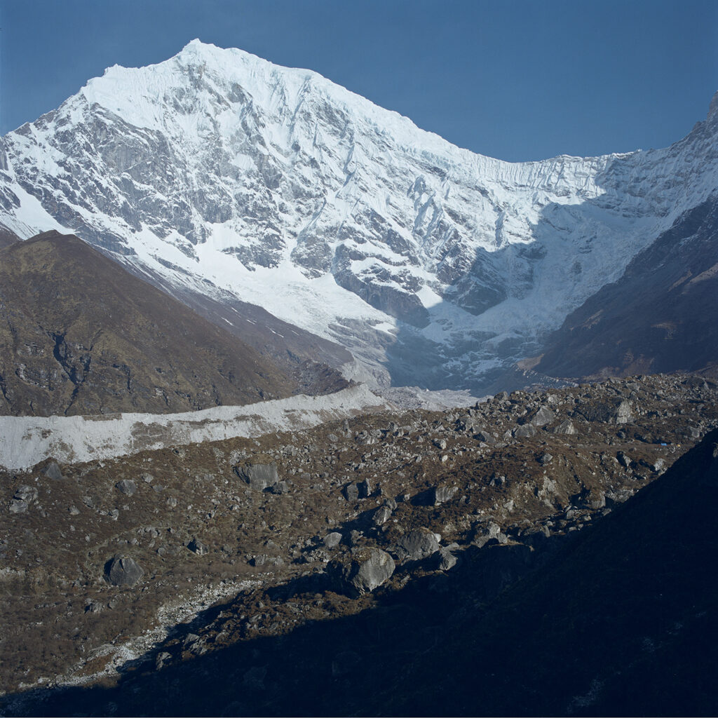
Pic 3. Debris covered glacier tongue
In the region poorly understood element of this geology is permafrost. Rock, soil and ice that has remained frozen for long periods can act as part of the structure holding a mountainside together. As temperatures fluctuate with climate change, ice fused within cracks in the rock can thaw. Water can then penetrate deeper into fractures and freeze again. Because water expands as it freezes, repeated freeze-thaw cycles can gradually widen cracks and weaken the mountain. Speculatively this could be a factor in the Langtang Lirung collapse. The precise combination of geology, ice, water, structural failure and climate crisis temperature change that triggered the disaster is still being investigated and likely the exact combination of factors will remain a mystery. Uncertainty should not be regarded as a failure of science. Uncertainty is, and should be, an accepted part of science.
The Himalayas are immense, remote and extraordinarily complicated. Their glaciers exist at different elevations, in different geological settings, under different debris covers and with different relationships to snow, water and permafrost. Understanding how each will respond to a changing climate requires more than remote sensing using satellites.
In 2012, standing in front of that unnamed glacier, the gaps in our knowledge felt almost romantic, a reminder that parts of the planet remained only lightly documented. The collapse was the opposite, a violent reminder that in the climate emergency we must vigorously pursue knowledge.
After the events of August 26th, understanding the unknown feel much more consequential.
Project Pressure has conducted more than 40 expeditions into glacier regions around the world. We map, document and communicate, often bringing writers, journalists, artists and scientists into the field to collaborate. In Nepal, glaciologist Dorothea Stumm joined writer Chris Hatherill and expedition leader and photographer Klaus Thymann on the journey to Langtang Lirung.
Fourteen years after our expedition, the need to look closely has only become more urgent.
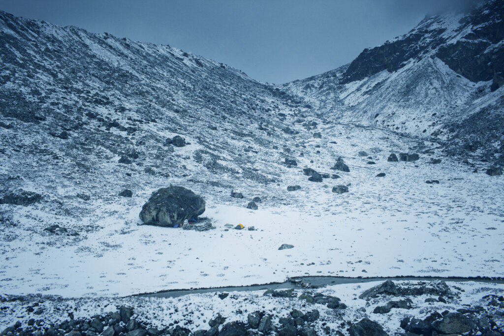
Pic 4. Spot the tent, the camp site in the remote area
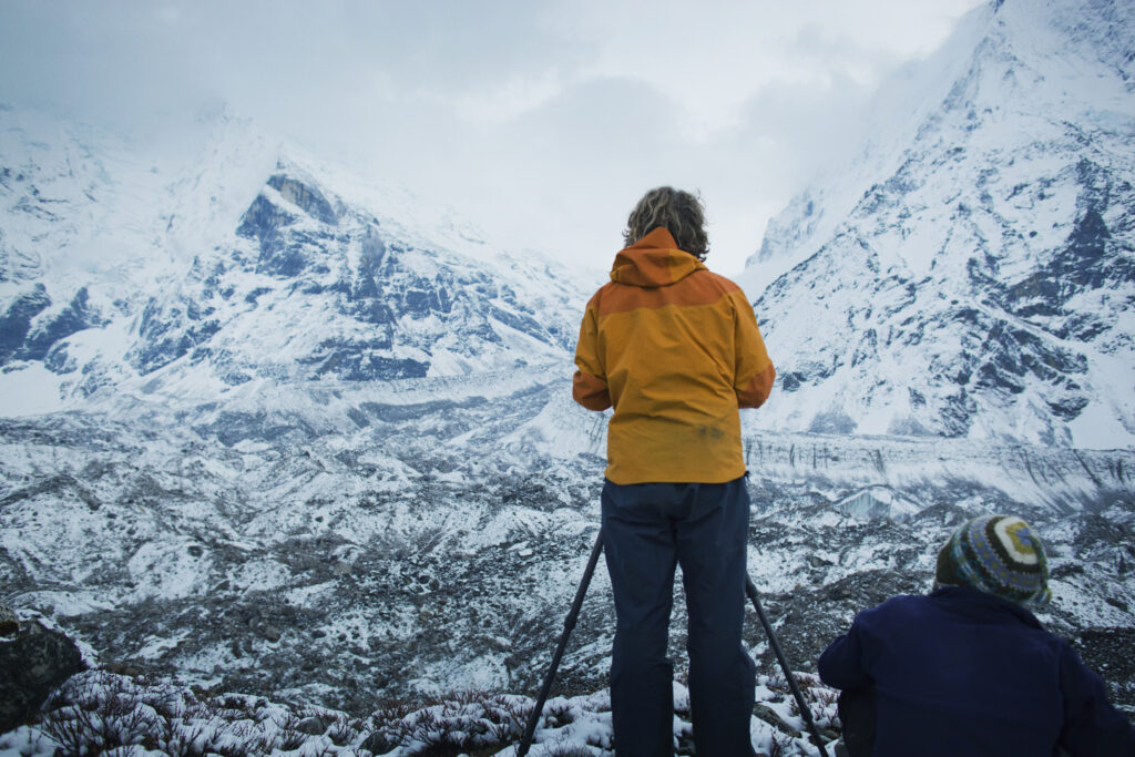
Pic 5. Team in action in front of Langhisa R Glacier